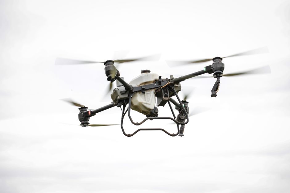
Planning and executing a survey that covers difficult terrain usually means balancing accuracy, safety, and time. Today, surveying and mapping with drones makes it possible to capture high-resolution aerial data quickly, even in areas that would be challenging for ground crews. These modern solutions are shaping the way professionals in construction, utilities, and security work with maps and geospatial information.
Transforming Surveying Accuracy and Speed
Surveying and mapping with drones has dramatically reduced the time needed for collecting data over large or complex sites. Where traditional ground surveying might take days or weeks, a drone can cover the same ground in hours, capturing detailed images and generating accurate 3D models or orthomosaic maps. This efficiency is especially valuable in construction planning, flood risk assessment, and land development. Drones equipped with RTK or PPK GNSS improve the positional accuracy to within centimeters, meeting the demands of technical and legal documentation. The reduction in manual labor also improves safety on hazardous or remote sites.
Commercial Drone Applications for Inspection and Utilities
Beyond mapping land boundaries, drones have become essential tools for commercial inspection tasks. Drone inspection is now common practice for monitoring infrastructure such as bridges, pipelines, railways, and electrical grids. Instead of sending teams to climb towers or work near active power lines, operators can launch a drone to collect visual and thermal imagery. This approach minimizes risk and identifies issues like corrosion, overheating, or structural damage before they escalate. For utilities, drone utility inspection means faster fault detection, fewer outages, and more efficient maintenance scheduling.
- High-voltage line checks without human exposure
- Pipeline leak detection using thermal sensors
- Solar panel farm assessments for damaged cells
Each of these applications benefits from drones’ ability to capture and transmit data almost in real time, speeding up the decision-making process for repairs and maintenance.
Surveillance and Security Enhancements With Drone Technology
Drones are also changing how organizations approach security. Unlike a stationary camera system, a surveillance drone can patrol perimeters, monitor remote locations, and track moving assets. Features such as infrared sensors, zoom cameras, and automated flight paths enable a single operator to oversee a wide area, reducing the need for large on-site security teams. Drone security is increasingly used at critical infrastructure sites, events, and industrial facilities where rapid response and broad situational awareness are priorities.
Choosing Between UAVs and Drones: What’s the Difference?
Many professionals encounter the terms “UAV” and “drone” when researching new mapping tools. While both refer to unmanned aerial vehicles, the word “drone” typically covers a wider range of devices, including basic consumer models and sophisticated commercial platforms. UAV usually refers to aircraft that operate autonomously or are remotely piloted for specialized applications. For most mapping and inspection needs, the technology overlap means either term is accurate, but commercial drones often come with advanced sensors and integration options tailored for enterprise workflows.
Where to Deepen Your Understanding of Drone Mapping
After exploring the main benefits and applications of commercial drones in surveying, you may want to dive into the technical details, such as photogrammetry software, flight planning tips, or compliance with local airspace regulations. Look for comprehensive guides on drone data processing, or consider detailed case studies that document successful drone mapping across different industries. These resources will help you select the right hardware and streamline your workflow for the most reliable results.